Mappedin Developer Overview
Mappedin offers a variety of mapping technologies that developers can use to create customized solutions. From integrating detailed indoor mapping capabilities with SDKs, to utilizing APIs for specific functionalities, to deploying ready-to-use applications, Mappedin provides the tools needed for building interactive and scalable mapping solutions. These technologies are designed to support a range of use cases. Delve into Mappedin's SDKs, APIs, and integrable apps to enhance your projects with advanced mapping features.
Mappedin SDKs
Mappedin SDKs provide developers with the tools needed to integrate advanced indoor mapping capabilities into their applications. These software development kits offer a range of features, including customizable map views, real-time navigation, and interactive wayfinding. With support for various platforms such as web, React Native, Android and iOS, Mappedin SDKs enable seamless integration and consistent user experiences across different devices. Explore the versatility and power of Mappedin SDKs to create engaging and efficient indoor mapping solutions tailored to your specific needs.
Learn More:
- Mappedin JS
- Mappedin React SDK
- Mappedin SDK for React Native
- Mappedin SDK for Android
- Mappedin SDK for iOS
Web Embed
Mappedin enables anyone to quickly and easily create and embed an indoor map into a web page. Upload any floor plan and let Mappedin automatically detect and draw any doors, windows, walls and much more. Or start from scratch with the Mappedin iOS app and scan any room to create a floor plan. When the map is ready, use the following guides to embed it in a web page.
- Embedding a Map in HTML
- Embedding a Map with Sharepoint
- Embedding a Map with Webflow
- Embedding a Map with Squarespace
- Embedding a Map with Wix
- Embedding a Map with Wordpress
- Embedding a Map with Drupal
- Embedding a Map with Google Sites
- Mappedin Plugin for WordPress
Web Embed Customization
To customize and enhance a Web Embed experience, Mappedin Viewer supports deep linking, which allows the use of query parameters to control the map experience. The map can also be directly communicated with and connected to other controls on a web page through the use of iframe messaging. Maps can also be configured to be private, allowing an organization to use its own authentication and limit access to the map to authorized users.
Enterprise Solutions
Mappedin Web
Mappedin Web is a fully packaged enterprise solution that can be easily embedded into a website to provide access to the Mappedin Web platform. Mappedin Web provides seamless navigation to visitors across any device. Features such as search, blue dot, and multi-destination wayfinding make it easy for users to plan their routes through your venue.
Learn More: Mappedin Web Guide
Mappedin Web Plugin for WordPress
The Mappedin Web Plugin for WordPress allows easily adding Mappedin Web to any WordPress page or post.
Learn More: Mappedin Web Plugin for WordPress Guide
Mappedin Visual for Power BI
The Mappedin Visual for Power BI provides a simple way to plot analytics events on an indoor map within a Power BI report.
Learn More: Mappedin Visual for Power BI Guide
Mappedin Minimap
Mappedin Minimap provides a static map, zoomed in on a specific location. It is designed to work in tandem with Mappedin Web. Clicking on the Minimap will link the user to the location profile within the Mappedin Web App.
Learn More: Mappedin Minimap Guide
Mappedin Directory
Mappedin Directory empowers visitors to effortlessly navigate complex venues, finding what they need while highlighting relevant content and ads. It is designed to run on a Windows based digital display or kiosk.
Learn More: Mappedin Digital Directory Guide
Mappedin Tools
Mappedin provides tools that enable customers and partners to customize and enhance their indoor maps and the applications that use them. These range from map customization to visualization and testing utilities, allowing for complete control over the appearance and functionality of indoor mapping solutions. Build a map and then use the tools below to customize and enhance it.
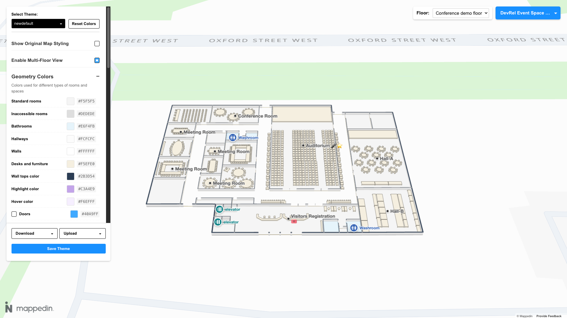
Mappedin Studio
Mappedin Studio allows creation and customization of a map's color scheme. Adjust colors for both indoor and outdoor features, such as floors, walls, doors, parks, water, roads and more.
3D Model Mapper
The 3D Model Mapper allows a user to place 3D models on a map and customize their appearance.
Map Flyover Generator
The Map Flyover Generator allows a user to select a series of locations on a map and generate an animated flyover path over each location.
Print Map Styler
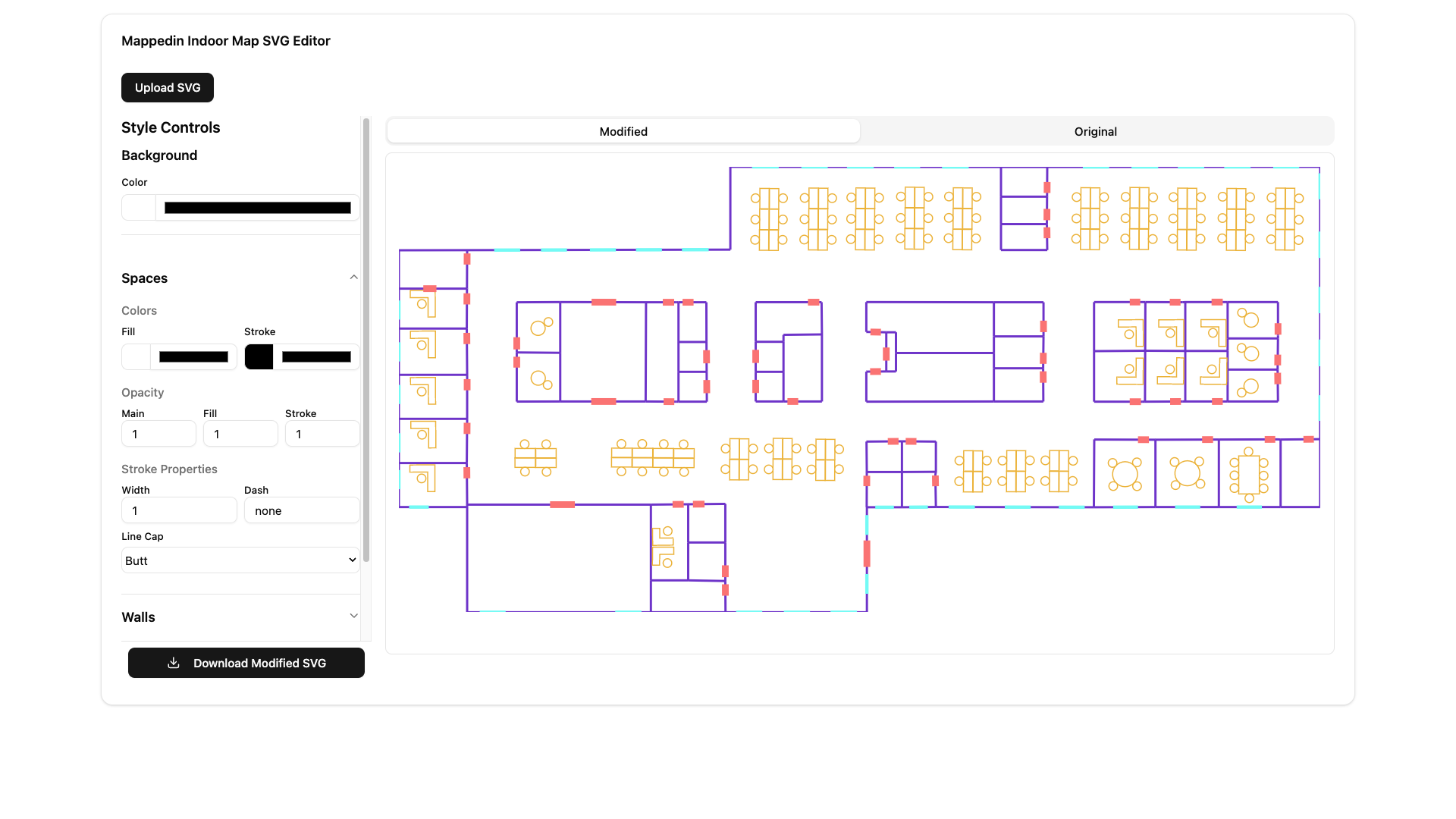
Mappedin Maker allows indoor maps to be exported as a Scalable Vector Graphics (SVG) file. The Print Map Styler allows the SVG file to be edited to customize the map's appearance before it is used in publication applications.
Blue Dot Location Generator
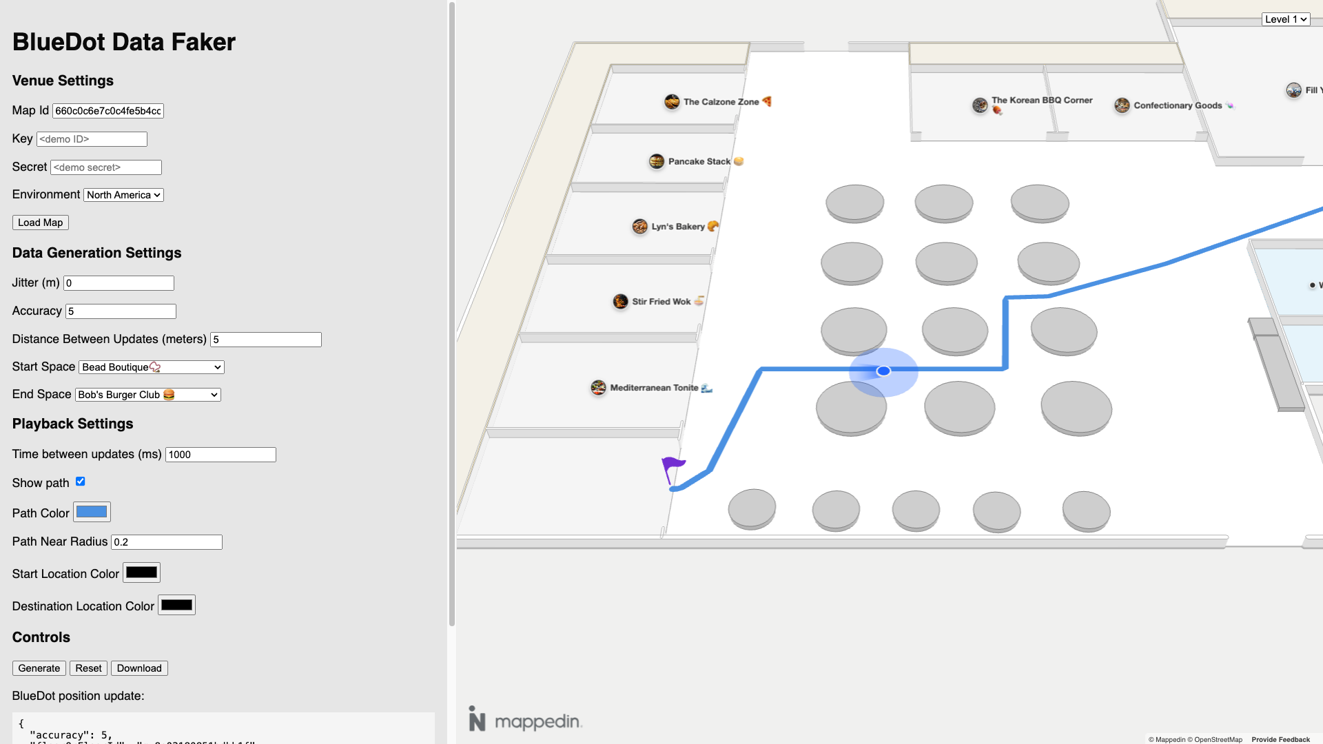
The Mappedin Blue Dot Location Generator can be used to generate location data for testing. To create test data, load a map in the generator app and choose a Start and End space. Click Generate to generate the data and observe the Blue Dot on the map using the generated data for its position. Press the Download button to download the location data in JSON format. The data can be customized by specifying the parameters below:
Mappedin GIS Exporter
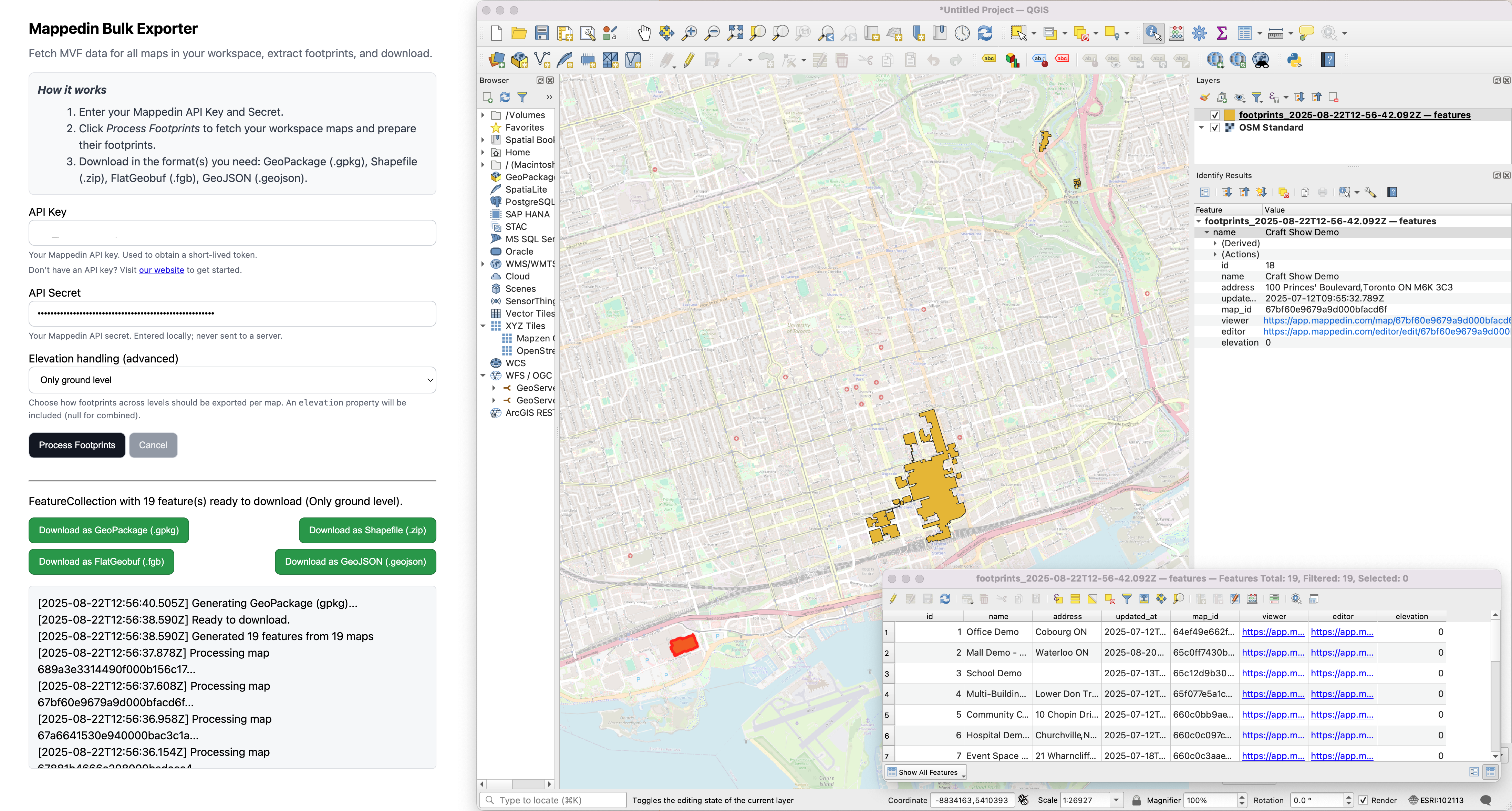
Mappedin GIS Exporter can be used to create building footprint datasets from a workspace. Enter API credentials, choose how multi-level maps should be handled, then generate and download ready-to-use files for GIS and data integration all from a web browser.
Mappedin Venue Format
Mappedin Venue Format (MVF) is a GeoJSON based format containing geometry data associated with an indoor map.
Mappedin’s exports take highly accurate indoor map data and format it as per GeoJSON specs, for a variety of use cases. These GeoJSON based exports provide complete flexibility to build any indoor mapping experience.
Learn More: Mappedin Venue Format Guides
Enterprise Data Synchronization
For customers with an existing central CMS, a data sync can be set up to treat that as the single source of truth. Mappedin CMS is used to make structural changes to maps and to manage location types not present in your system. All other location, category, and event data can come from your CMS.
Learn More: Data Sync Guide