MapTiler
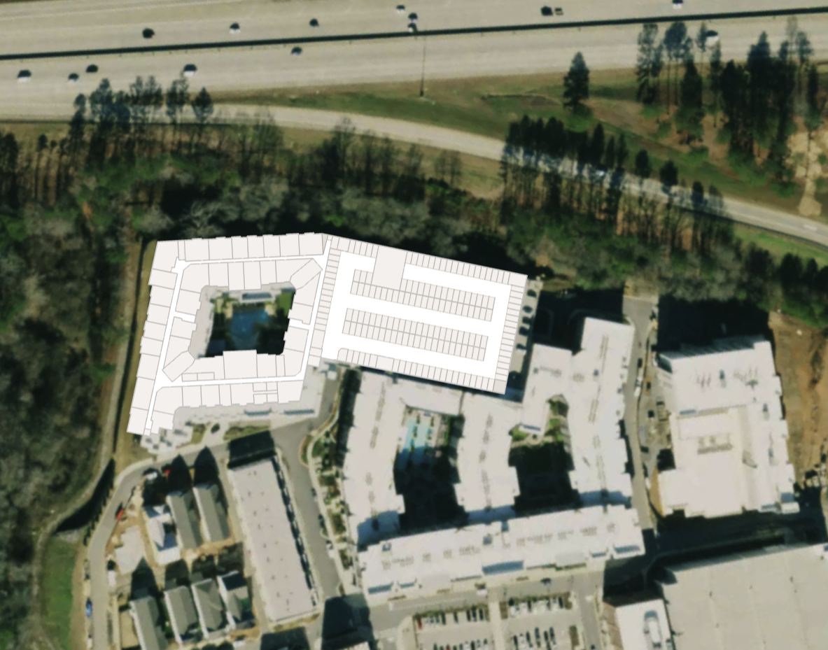
MapTiler provides mapping services that can enhance your Mappedin indoor mapping experience with high-quality satellite imagery, custom map styles, and additional geographic data layers. When combined with Mappedin's indoor mapping capabilities, you can create rich, multi-layered mapping experiences.

Why Choose Mappedin with MapTiler?
- Use MapTiler's satellite imagery as an outdoor map layer
- Use MapTiler's vector tile styles
- Add MapTiler's vector tile layers to show additional data
- Add MapTiler's 3D terrain and elevation data
Getting Started
Implementation is straightforward and can be done using Mappedin's outdoor map functionality. MapTiler's services can be added as additional layers to provide enhanced outdoor mapping capabilities.
For technical details and implementation guides, refer to the Outdoor Map Guide for more information. The CodeSandbox example below demonstrates using MapTiler's raster satellite imagery as an outdoor map layer.
Note: While this guide uses MapTiler's services, you'll need your own MapTiler API key. You can get a free key at https://www.maptiler.com/.